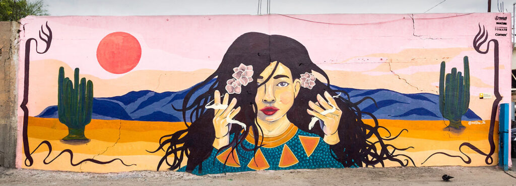
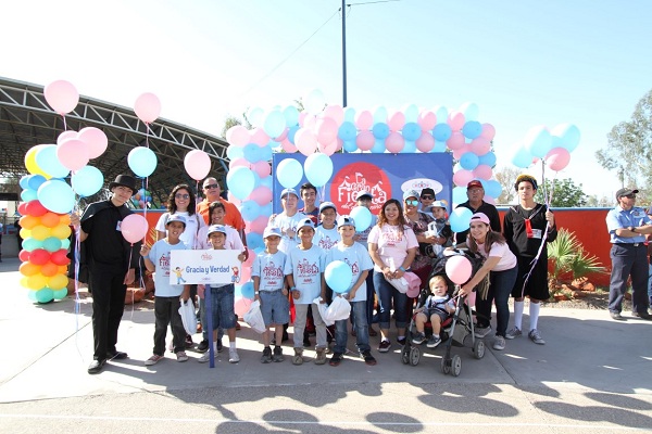
Mexicali

Location: Mexicali

GENERAL INFORMATION

Mexicali is the capital of Baja California, its name is derived from the anagram MEXI-co and CALI-fornia. Mexicali, Baja California, borders the United States border, so the North American influence is very visible in this region, in addition to the Chinese influence that stands out. Do not be surprised that when you visit Mexicali, you’ll find more Chinese food restaurants than OXXOs, this is due to the late nineteenth and early twentieth centuries, there was a great migration of Chinese to Mexicali, many of them with the intention of moving to the United States. But not being possible they stayed in Mexicali, being the first settlers in the city, therefore Mexicali has a lot of Chinese influence. In 1920 alone, 75% of the population was Chinese. The climate in Mexicali, Baja California Norte, is desert, so it oscillates between extremely high temperatures, for example, the highest temperature recorded in Mexicali is 51.4 degrees Celsius and the lowest temperature recorded in Mexicali is 2 degrees Celsius. It’s important that you know roughly the behavior of the weather in Mexicali so that you can determine the best time to visit this beautiful city.

Activities

Museo Sol del Niño
Parque Acuático "El Charco"
Bosque y Zoológico de la Ciudad

Arts

HOSTAL. Arte Contemporáneo.
Sala de Arte de Ruben Garcia Benavides
Galeria de la Ciudad

Charities

Casa de cuna Oasis del Niño
Fundación Nicoya, A.C.
Cadenas de Ayuda para México, A.C.

Dining

Palominos
Restaurante China House
Los Arcos

Fishing

Currently no listings found in this category

Golf

Club Campestre de Mexicali

Insurance

Currently no listings found in this category

Off Road

Currently no listings found in this category

Professional Services

Granados & Asociados Abogados de Mexicali
Clinica Dental Vela Dentistas

Real Estate

Rino bienes raíces

Resorts

Hotel Araiza Mexicali
Hotel Lucerna Mexicali
Holiday Inn Express & Suites Mexicali

Shopping

Plaza Nuevo Mexicali
Plaza Sendero
Plaza La Cachanilla

SPAS

New Face & Body - Spa de Mexicali
LaserConcept

surfing

Currently no listings found in this category

weddings

Currently no listings found in this category

wineries

Currently no listings found in this category

How To Get To Mexicali

Mexicali, Baja California, has the Mexicali International Airport, officially called General Rodolfo Sánchez Taboada International Airport. Mexicali International Airport is located at Carretera Mesa de Andrade Km. 23.5 Col. Mariano Abasolo, postal code 21600 Mexicali, Baja California. It offers domestic flights as well as international routes, mainly to Los Angeles, Jacksonville, Phoenix, and San Francisco (United States), and Vancouver (Canada). Getting to Mexicali, Baja California, by car is feasible if you come from the United States, thanks to the proximity that exists. So if you want to plan a short weekend trip, Mexicali, Baja California, is an excellent option. Mexicali, Baja California, has a fascinating history around it, being the largest cotton producer in all of Mexico, which is why Mexicali is considered a cotton emporium. Another highlight of Mexicali, Baja California, is its Cerro Prieto geothermal plant, which was the first energy-producing plant in all of Latin America and became the second-largest in the world.

Best Time To Visit Mexicali

The average temperature in Mexicali, Baja California, varies from 6 °C to 42 °C and rarely drops below 2 °C or rises above 45 °C. Its climate represents a variable worth taking into account for the planning of the ideal vacation in this place. If you want to travel to Mexicali, Baja California, and enjoy a temperate climate, the best suggestion is from the end of May and the beginning of October, since temperatures range from 35 degrees Celsius as the lowest average temperature, up to 42 degrees Celsius as the highest average temperature. This is our suggestion if you want to enjoy a warm summer in Mexicali, Baja California. But if you want to enjoy a cooler climate, it’s best to plan your trip to Mexicali, Baja California between the months of December and early March, where the average minimum temperature is 7 degrees Celsius and an average maximum temperature of 23 degrees Celsius.

THINGS TO DO

Cuervitos Dunes
They are located in the Vicente Guerrero Delegation, better known as “Los Algodones”, it’s located in the extreme northeast of the state of Baja California and is the northernmost point of Mexico. The town of “Los Algodones” is located on one of the borders between California and Arizona.


The Salar
It’s an incredible place that is located an hour from Mexicali, located on the Mexicali highway towards San Felipe. The Salar is a meeting point of the Colorado River and the Sea of ​​Cortes when the tide rises, causing the water to form stagnations or lagoons, forming water mirrors that evaporate, thanks to the high temperatures of Mexicali, Baja California, leaving a crystalline layer of the only edible rock: salt.


Cerro Prieto
It has a model airplane runway. Model airplanes are a hobby and a sport derived from the technique of building and flying small, medium, and large airplanes, called model airplanes, which have been prepared to fly without a crew. And Mexicali, Baja California, has reserved for you a track where you can have fun and test your model aircraft, the flight of these can be carried out without obstacles that prevent you, located in Cerro Prieto.
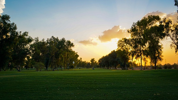

The Chinesca
An ideal place for golf enthusiasts, located at kilometer 2.5 Carretera a San Felipe, Laguna Campestre subdivision, zip code 21386, Mexicali, Baja California. Located in the vicinity of Laguna México, it offers spectacular views and a family atmosphere.


Facebook
Twitter
LinkedIn